
Balloon Navigator

Basic controls such as zoom and pan work similar to other apps on your system or device.
On Windows:
CTRL + click) and move left or rightCTRL + click) and move up or downOn Mac:
On mobile:
Additionally, in top left corner of the map there are +/- buttons to zoom, compass button to show north (click on it to rotate map back to north) and globe button to switch between 3D globe and flat map view.
Basemaps are map backgrounds, with the world data on it. You can open Map menu by clicking Map in top header.
Balloon Navigator uses modern vector maps in PMTiles format. They are all in WGS84 datum and do not require any calibration.
World map is included for free, together with smaller built in maps to help you get started. To change map, simply select it from the list (more maps will appear when you scroll down).
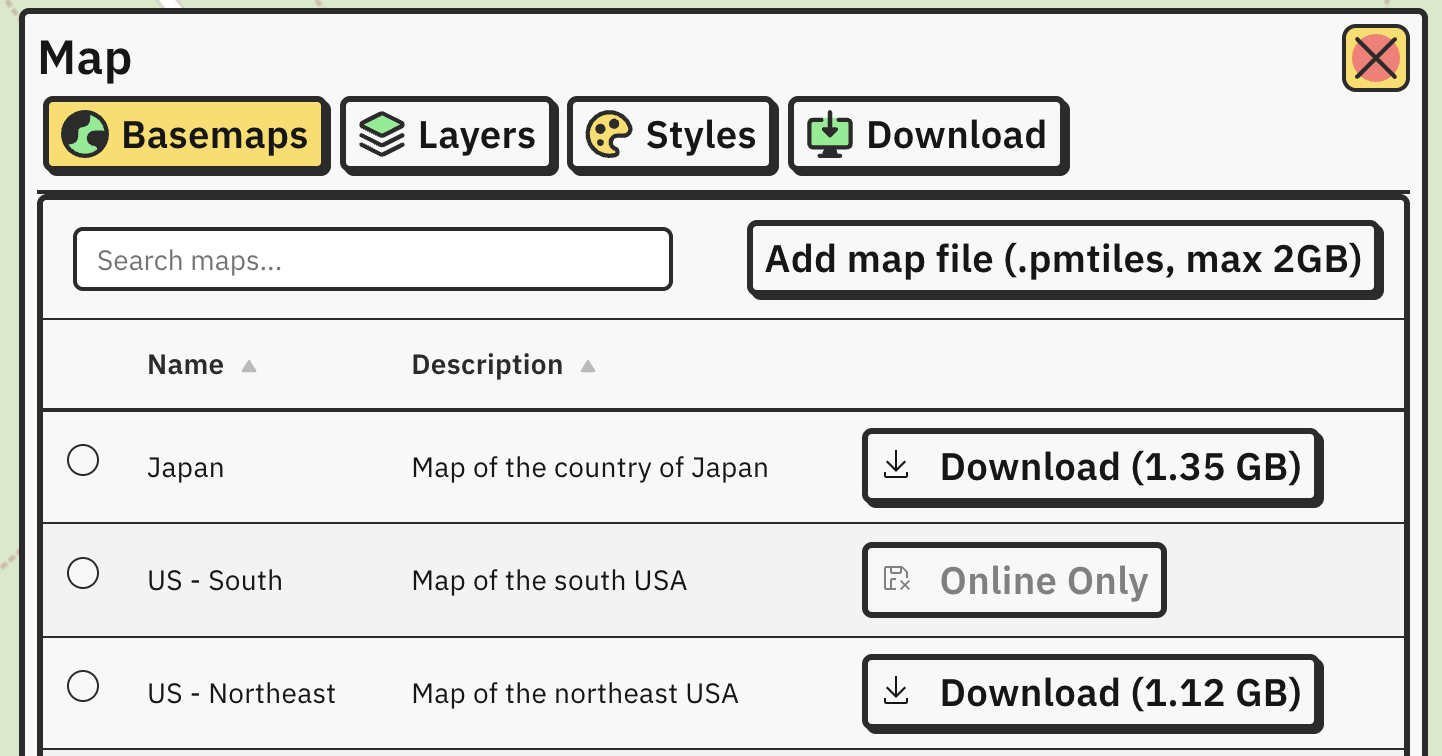
By default, all maps are online and require internet connection to work. Click Download button on the right to save map for offline use.
Only maps which are less than 2GB can be downloaded. If map of region is bigger than 2GB, it’s marked as Online Only and cannot be used offline.
If map of your region is not available to download on the list, refer to Download your own map.
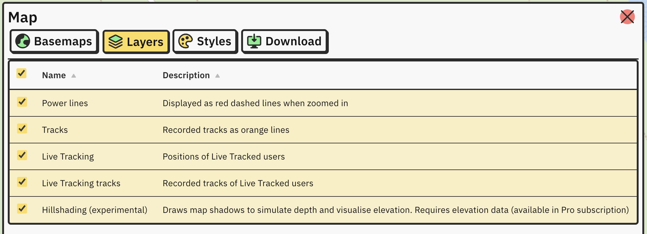
Apart from background, maps can have additional layers which can be displayed on top of it.
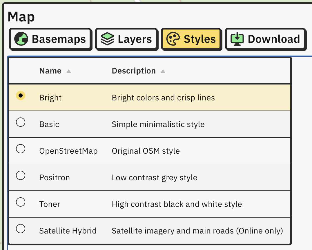
There are several available map visual styles:
If you need custom offline map of an area, you can generate one yourself inside an app. Open Maps and select Download tab.
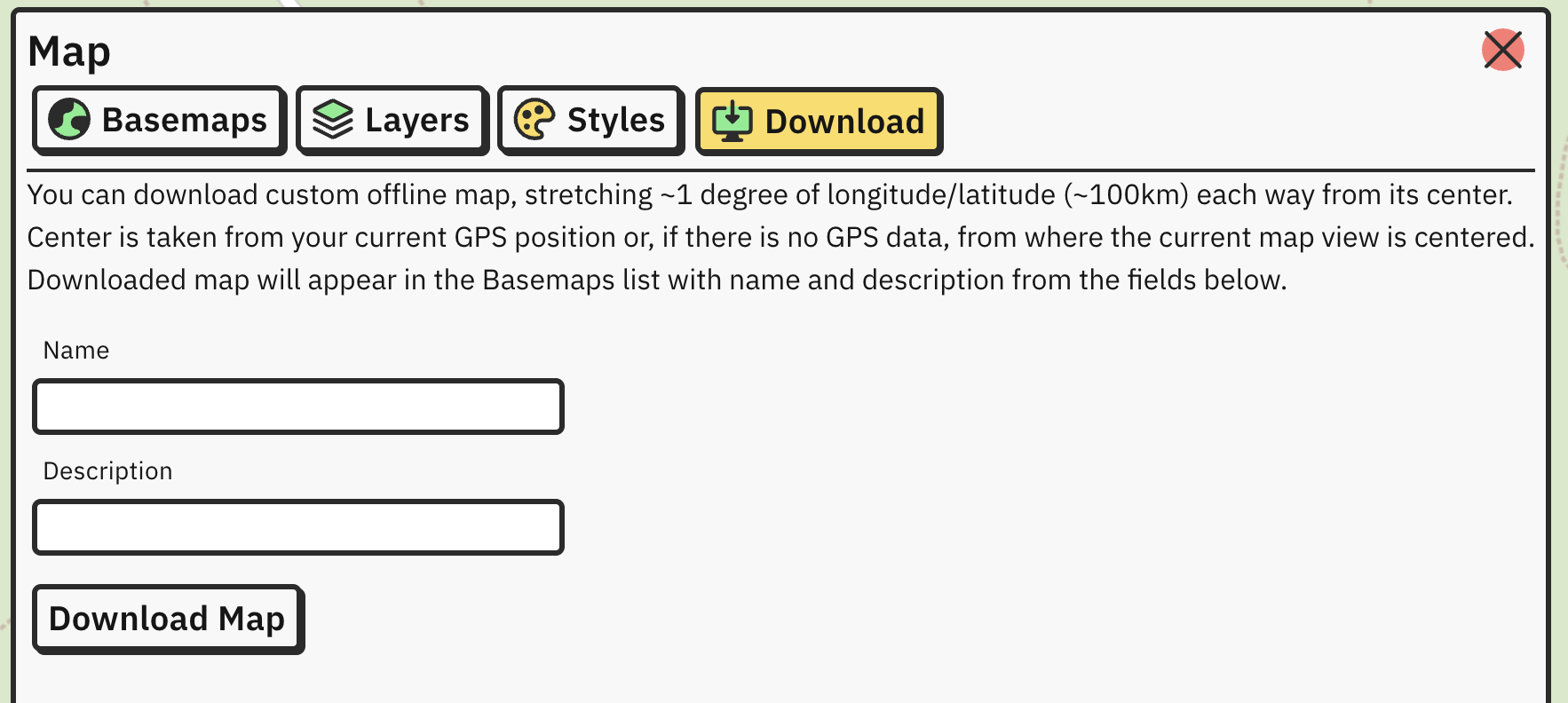
Follow the instructions on the screen.
When you’re done, click on Download map button. New map is generated on the server and it will take few minutes to download. File size is around 300MB and when it’s done, it will be added to list of maps in Basemaps tab.
If you are Pro user, additional elevation data will be downloaded and embedded into custom map automatically.
Open Maps and click on Add map file button. Pick your map file and select Open. Custom map will appear on the list and you can use it right away.
Balloon Navigator uses OpenMapTiles schema with additional entries for powerlines:
You need to provide PMTiles file with these layers if you want power lines displayed on map. power_tower and power_pole are currently not used (not rendered).
To build PMTiles map file from OpenStreetMap data, you can use Planetiler and its OpenMapTiles profile. In general this is highly technical process.
Resulting PMTiles file cannot exceed 2GB in size due to browser memory limitations.